Transportation Capital Projects Highlights 2022
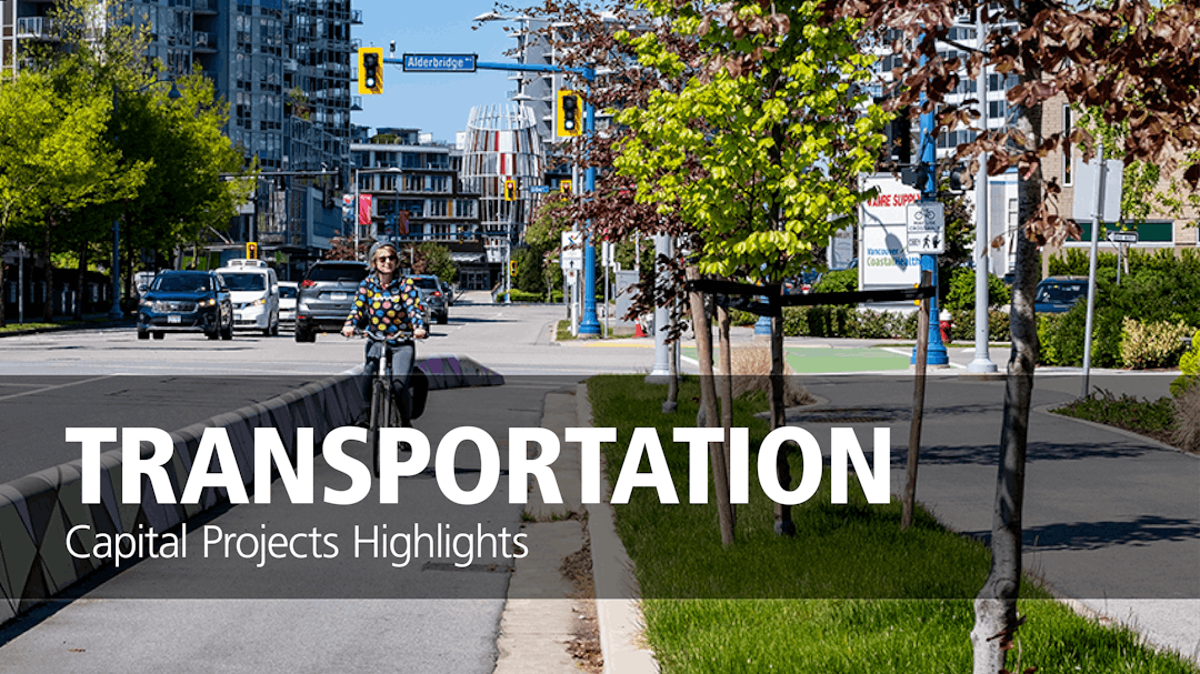
Transportation - Capital Projects Highlights 2022
Thank you for dropping by. While the active Q&A tool of this project ran April 26 to May 29, 2022, the pages can still be viewed. If you have any questions, contact information is provided under each section of the interactive story map.
 To learn about Transportation capital projects, visit the Transportation Projects Highlights page (external link) for interactive maps, images and detailed information about what we are working on this year.
Watch this short video (just over 1 minute) for tips on navigating in the interactive map "Getting Started" video (external link.)
If you have any specific questions about the projects shown on the Transportation Projects Highlights page, please try our Ask a Question tool below or use the contact information provided in the story map link above.
If you have a specific question related to the projects presented in the Transportation Capital Highlights interactive map, please ask here.
We will respond to your question as soon as possible.